
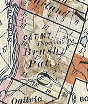
Brush Patent Map
(part of Adirondack Forest Maps. 1908)
Record Series: MAPS - MISCELLANEOUS
Dates: 1786 - 1980
Location: Warren County Records Storage & Archives.
Format: Formats include vellum, linen, paper on cloth, paper, card stock, blueprints, and bound volumes, of varying sizes
Arranged: By Catalog # and Folder #
Volume: 246 items, 24 cubic ft
Department: County Clerk
Legal Restrictions: None
Use Restrictions: Staff will access all records and must approve all requests for copies.
Historical Background:
Included in the County Clerk's Map Collection are various maps without filing dates but nonetheless a part of the office since the mid-19th century. It is presumed that some of the earliest came were placed with the Clerk upon completion of the 1845 Warren County Court House and as well with the appointment of a county surveyor, R.J. Brown, in the late 1800's. Included in this collection: Hudson Valley Railway, Glens Falls Railroad, Utility Acquisitions, School District Atlas, Townships, Public Works Projects, Glens Falls Village Maps, and Tax Maps. For reference purposes, the county has also acquired from New York State Archives copies of land tracts relative to Warren County. Although not previously indexed, the collection has now catalogued, placed in archival storage, and available through the Records Storage Center.
Description of Record Series:
Formats include vellum, linen, paper on cloth, paper, card stock, blueprints, and bound volumes, of varying sizes and with varying information, including but not limited to: map name, scale, surveyor, date, revisions (if any), reputed owners, geographic and political boundaries. Most drawn in ink, some hand-colored. CO-2 # 212.
Purpose of Record:
To provide a record of visual and historical representation of land tracts and subdivisions, municipalities and their boundaries, taxing districts, public works, local geography, and other miscellaneous topics.
Other Formats: All originals in this series will be scanned in order to preserve and reproduce the image electronically. However, certain maps with exceptional historical content unsuitable for scanning (i.e. oversized, bound, fragile condition) have been reproduced using black and white photography; with copies and negatives available for public use.
Finding Aids: Series on inventory, archival catalog, archival database with full search capabilities; printed index available by map name.
Related Series: Maps - Surveys (Filed); Maps - Surveys (Unfiled); Maps - Documentation; Maps - Highways.