
Warren County creates new application to report trail problems
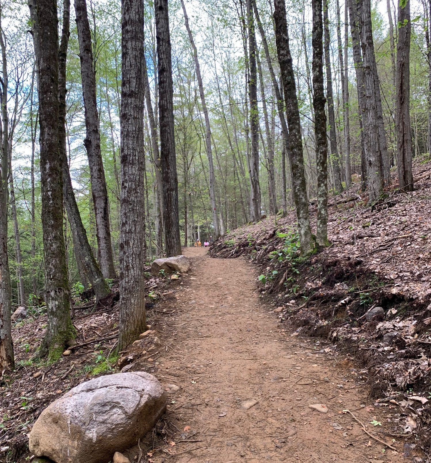
WARREN COUNTY, NY – If you hike, bike or walk on any of our local trails, particularly after a long winter, you have probably come across a downed tree, washed out section of trail or other obstacle to trail use. With many organizations operating trails in the region, you may not know who you should contact to have the issue addressed, though.
A new online tool developed by Warren County Planning & Community Development will allow trail users to report issues they find on Warren County trails through an easy-to-use portal that will result in notification of the trail owner or maintenance organization.
The new portal, dubbed “Warren County Trail Reporter,” has been developed in conjunction with organizations that oversee the dozens of great trails around Warren County.
Warren County staff will notify trail owners and organizations when reports are received. Many of these organizations do not have staff available to immediately address a report, but have indicated they will look into them as quickly as possible.
Said Michael Horn, Executive Director of Lake George Land Conservancy: “With so many miles of trails and limited staff time, it is incredibly helpful when trail users let us know of issues they come across. This tool from Warren County allows trail users to easily report issues along with location and photos that will allow trail managers to respond more effectively.”
Said Queensbury Supervisor John Strough: “The Town of Queensbury has developed an extensive network of trails, used by thousands of our greater local community residents and visitors; trails for family hiking and biking and trails for mountain bikers of all skill levels. Even though we have regular maintenance schedules for our trails, we would still appreciate the use of an additional public alert system because safe trails are a priority for us.”
The new portal can be found online here: https://bit.ly/3voEUQM. It allows users to describe the hazard, and prioritize the severity of the problem that was observed.
The new tool is the latest recreational offering from Warren County Planning & Community Development Department, which has spearheaded a number of initiatives to improve and increase the use of Warren County’s plentiful recreational resources. Among them are the Warren County Rec Mapper, which details hiking, biking and paddling opportunities around the county, First Wilderness Heritage Corridor and First Wilderness Letterboxing Trail.
###